
Sewer & Water Construction
Precision Surveying and Intelligent Infrastructure Solutions That Lay the Foundation for Successful Sewer and Water Construction
Sewer and Water Survey
Sewer and water infrastructure projects represent some of the most technically demanding environments for construction surveying. Unlike surface works where errors are often visible, underground utilities rely on "invisible" precision; once the trench is backfilled, the system must function perfectly for decades.
Here is an elaboration on how professional geomatics ensures the success of these critical systems:
The Foundation: Geodetic Control and Engineering Intent
The process begins long before a pipe touches the ground. Surveyors establish a high-precision Primary Geodetic Control Network—a series of permanent, stable benchmarks that serve as the "single source of truth" for the entire project.
In sewer and water works, vertical accuracy is paramount. Because many sewer systems rely on gravity flow, a discrepancy of even a few centimeters in elevation over a long distance can result in stagnant water, sediment buildup, or total system failure. Surveyors translate the 2D engineering plans into a 3D reality, ensuring that the theoretical "design slope" is physically achievable given the existing site constraints and soil conditions.
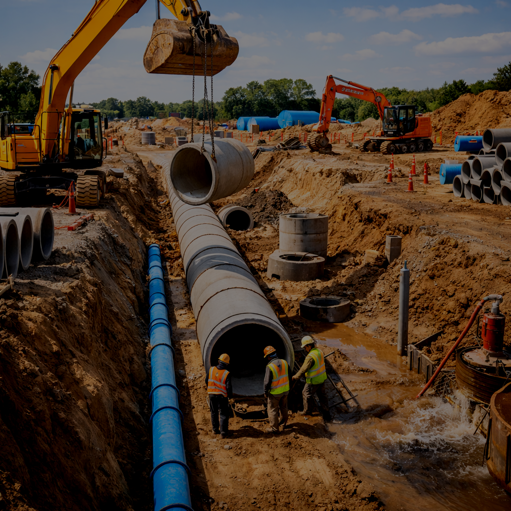
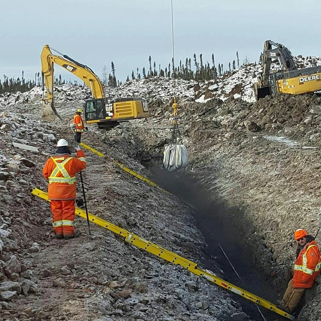
Precision Layout: Staking and Excavation Control
During the active construction phase, surveyors provide the roadmap for heavy equipment operators. This involves more than just marking a line; it includes:
Trench & Alignment Staking: Marking the exact "offset" lines so excavators can dig with confidence, avoiding existing "foreign" utilities (gas, hydro, fiber) and staying within the designated right-of-way.
Invert Elevation Control: Setting precise "cut-sheets" that tell the pipe-layer exactly how deep to go at every joint. This ensures the Invert (the bottom inside level of the pipe) maintains the exact gradient required for hydraulic efficiency.
Structure Positioning: Pinpointing the location of manholes, catch basins, and hydrants. If a manhole is out of position by even a small margin, it can cause alignment issues for every subsequent pipe segment connected to it.
Verification: Ensuring Long-Term Structural Integrity
Ongoing verification acts as the project’s quality insurance. By performing As-Built Documentation while the pipes are still exposed in the open trench, surveyors capture the exact "as-constructed" coordinates and elevations.
Gravity Flow Gradients: Confirming that the installed pipe matches the design slope. This is the final check against "bellies" or flat spots in the line that could lead to maintenance nightmares for the municipality.
Tolerance Management: Ensuring that the fittings, valves, and tie-ins to existing city mains meet strict municipal tolerances.
Risk Mitigation: Identifying deviations early allows for immediate correction. It is far more cost-effective to adjust a pipe before the gravel is compacted and the asphalt is poured than to perform a "dig-up" later.
The Role of Technology: From GNSS to Robotic Total Stations
Modern municipal surveying utilizes a blend of GNSS (Global Navigation Satellite Systems) for broad site control and Robotic Total Stations for high-precision layout.
3D Modeling: Surveyors often create 3D digital terrain models (DTMs) that feed directly into "Machine Control" systems on excavators, allowing for real-time depth monitoring.
Data Integration: Final as-built data is often formatted for integration into a City’s GIS (Geographic Information System), providing a permanent digital record for future maintenance, repairs, and infrastructure planning.
By providing this continuous loop of data—from the first stake to the final backfill—construction surveying ensures that the infrastructure beneath our feet remains reliable, efficient, and built to last.