

Roadworks & Highway Infrastructure
Precision Surveying and Intelligent Infrastructure Solutions That Lay the Foundation for Successful Roadway and Highway Construction
Roadworks & Highway Survey
Roadway and highway infrastructure projects are massive undertakings where even a minor deviation in grade or alignment can lead to significant safety issues, drainage failures, or premature pavement degradation. In this environment, construction surveying acts as the vital link between complex civil engineering blueprints and the physical reality of the heavy equipment on-site. These projects rely on precise geomatics to ensure engineering intent is translated into real-world positioning with sub-centimeter accuracy.
From establishing primary control networks to staking sub-grades and high-precision paving, professional surveying plays a critical role in maintaining schedule, quality, and structural integrity from initial earthworks through project completion.
Here is a detailed breakdown of how professional geomatics drives the success of transportation infrastructure:
The Framework: Primary Control and Engineering Translation
High-speed corridors and urban thoroughfares require a seamless transition between various geometric elements—tangents, circular curves, and spirals. This starts with the establishment of a Primary Control Network.
Surveyors create a rigid framework of high-accuracy benchmarks and control points that span the entire project length. This ensures that whether a crew is working on a bridge abutment at one end or a drainage culvert at the other, every element is tied to the same coordinate system. By translating 3D engineering models into precise field positions, surveyors ensure that the road’s horizontal and vertical alignments account for necessary factors like superelevation (banking on curves) and sight-distance requirements.
Precision Layout: Mastering the Layers of Construction
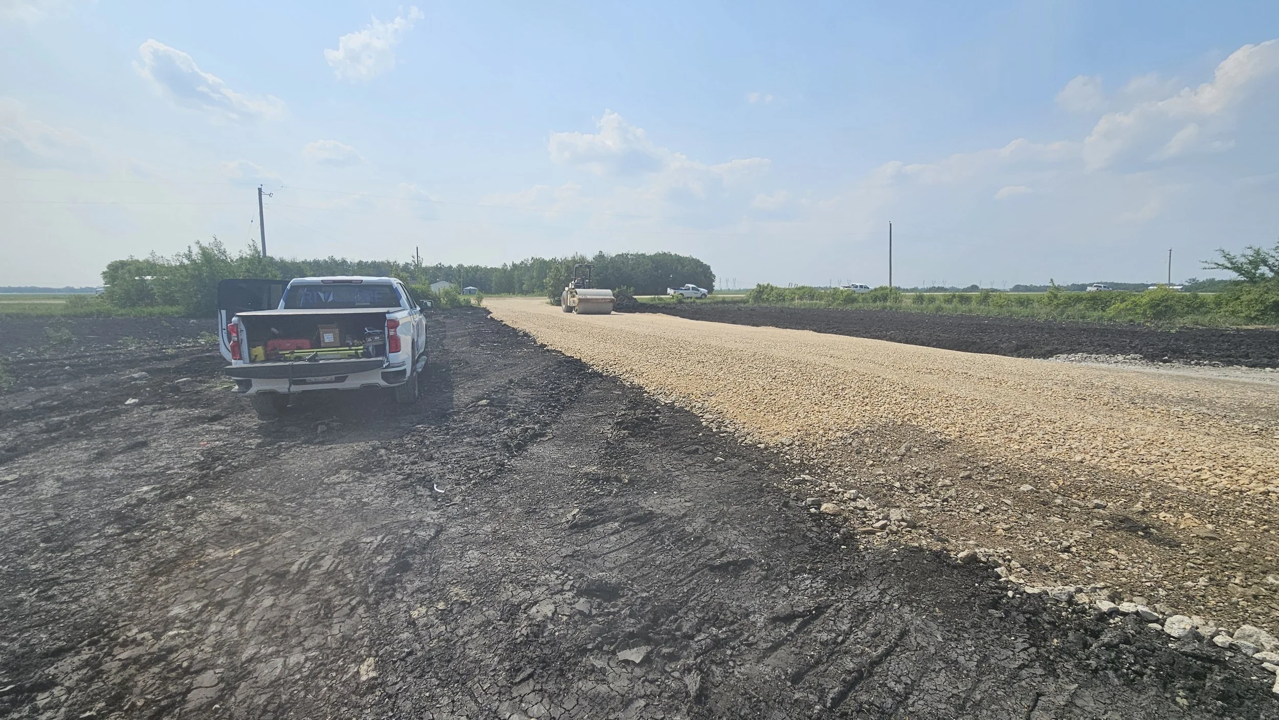
Highway construction is a layered process, and each layer—from the raw earth to the final wear course—must meet specific tolerances to ensure the longevity of the road.
Earthworks and Sub-grade Staking: Surveyors provide the layout for bulk excavation and embankment construction. By setting "slope stakes" and "blue tops," they guide operators in shaping the road's foundation to the exact design profile.
Granular Base and Sub-base Control: As the structural layers of gravel and crushed stone are placed, surveyors verify that the thicknesses and cross-slopes are correct. Proper crowning is essential to ensure that water sheds off the road surface and into the drainage system rather than pooling and causing hydroplaning or potholes.
Integrated Machine Control (IMC): Modern highway projects often utilize 3D Machine Guidance. Surveyors develop and manage the high-resolution digital models that are uploaded directly into dozers, graders, and pavers. This allows for autonomous or semi-autonomous grading with incredible efficiency and consistency.
Paving and Finishing: The Sub-Centimeter Finish Line
The final stages of a highway project—concrete or asphalt paving—leave the least room for error.
High-Precision Paving Staking: For concrete slip-form paving or high-spec asphalt, surveyors set "hub and tack" or "stringline" layouts. This ensures the paving machine maintains a perfectly smooth profile, which is critical for meeting the International Roughness Index (IRI) standards required for high-speed travel.
Drainage and Utility Integration: Surveyors ensure that curb and gutter lines, catch basins, and manholes are positioned perfectly to intercept surface runoff. If the gutter is even slightly off-grade, it can lead to standing water that compromises the road's sub-base and winter safety.
Verification and Risk Mitigation: The Digital Twin
Throughout the project, ongoing verification and As-Built Documentation serve as the ultimate quality control mechanism.
Conflict Resolution: By performing "topographic pickups" during construction, surveyors can identify potential conflicts between new infrastructure and existing utilities before they cause a work stoppage.
Volume Audits: Precision surveying allows for the accurate calculation of moved material volumes, ensuring fair and transparent progress payments for earthmoving and paving quantities.
As-Built Records: The final survey provides a "digital twin" of the completed highway. This data is invaluable for municipal and provincial authorities, providing an accurate record of drainage invert elevations, utility locations, and lane alignments for future expansion or maintenance.
By maintaining sub-centimeter accuracy from initial clearing to final striping, construction surveying ensures that highway infrastructure is safe, durable, and built exactly to the intended engineering specifications.