
Mining & Resource Development
High-Accuracy Geomatics and Layout Solutions for Mining & Resource Development
Precision Geomatics and Aerial Solutions for Mining & Resource Development
Mining and resource development projects operate in some of the most unforgiving environments on Earth, where the margin for error is slim and the cost of inefficiency is astronomical. In these settings, geomatics is more than a measuring tool—it is the backbone of operational intelligence. By bridging the gap between massive earth-moving operations and high-precision engineering, surveying ensures that resources are extracted efficiently, volumes are tracked accurately, and every person on-site remains safe.
Here is a detailed breakdown of how professional geomatics drives success in the mining and resource sector:
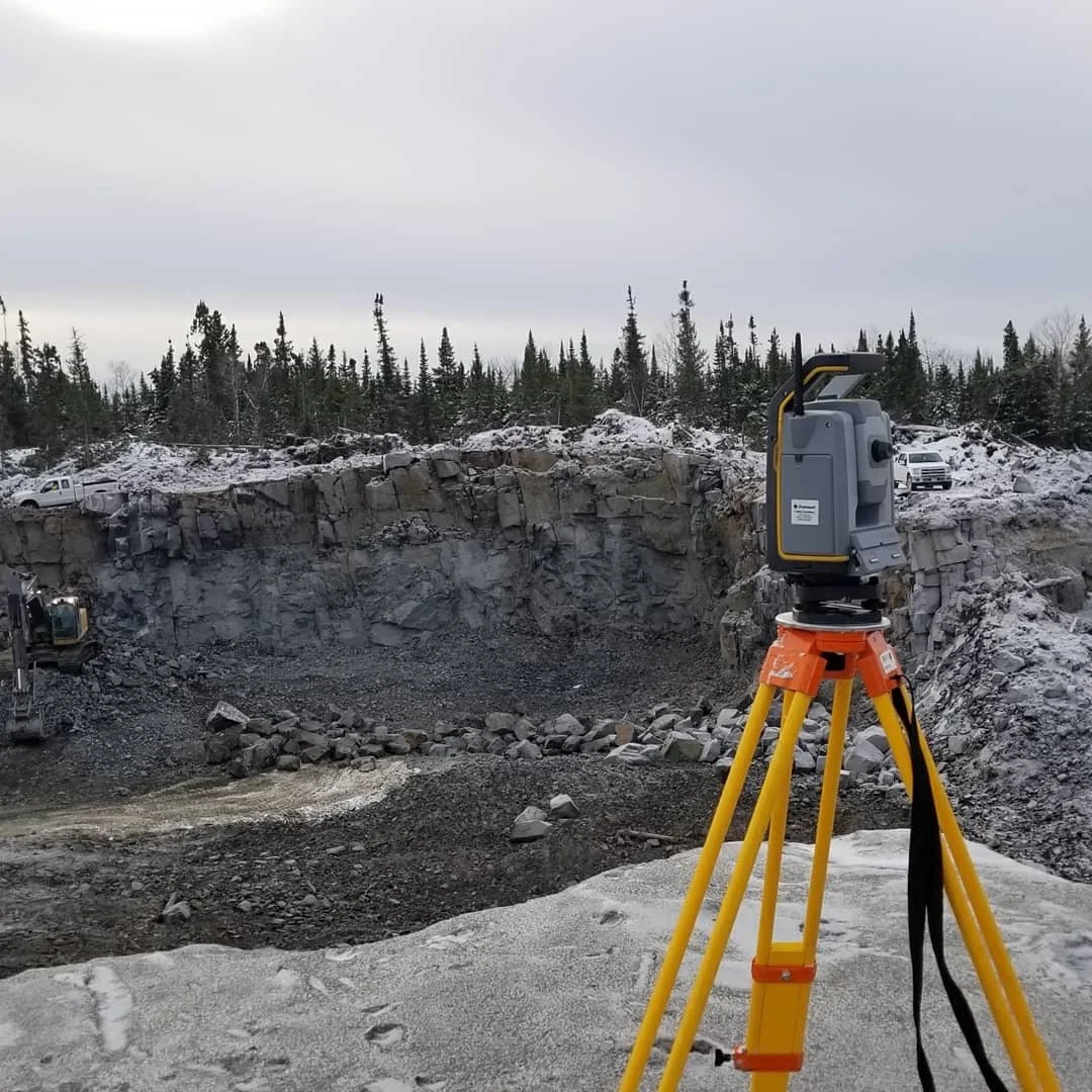
The Foundation: Geodetic Control in Dynamic Environments
Unlike static construction sites, mines are living landscapes that change daily. Establishing a Rigid Geodetic Control Network is the first step in ensuring that every pit, haul road, and processing facility is synchronized.
In resource development, this control must account for potential ground subsidence or movement. Surveyors establish deep-seated benchmarks that allow for consistent, repeatable measurements over the years-long lifecycle of a mine. This unified coordinate system is essential for integrating data from various sources—such as drill-hole locations, pit designs, and environmental monitoring—into a single, accurate "Digital Twin" of the entire lease.
Aerial Intelligence: UAV & LiDAR Mapping
The introduction of UAV (Unmanned Aerial Vehicle) technology has revolutionized resource surveying. High-resolution drones equipped with LiDAR or photogrammetry sensors allow for the rapid collection of massive datasets without halting production.
High-Density Point Clouds: Drones capture millions of data points to create detailed 3D models of high-walls, pits, and waste dumps.
Rapid Topographic Updates: Traditional ground surveys of a large mine could take weeks; a UAV can cover the same area in hours. This provides stakeholders with near real-time data to monitor stripping ratios and ensure that excavation is proceeding according to the short-range and long-range mine plans.
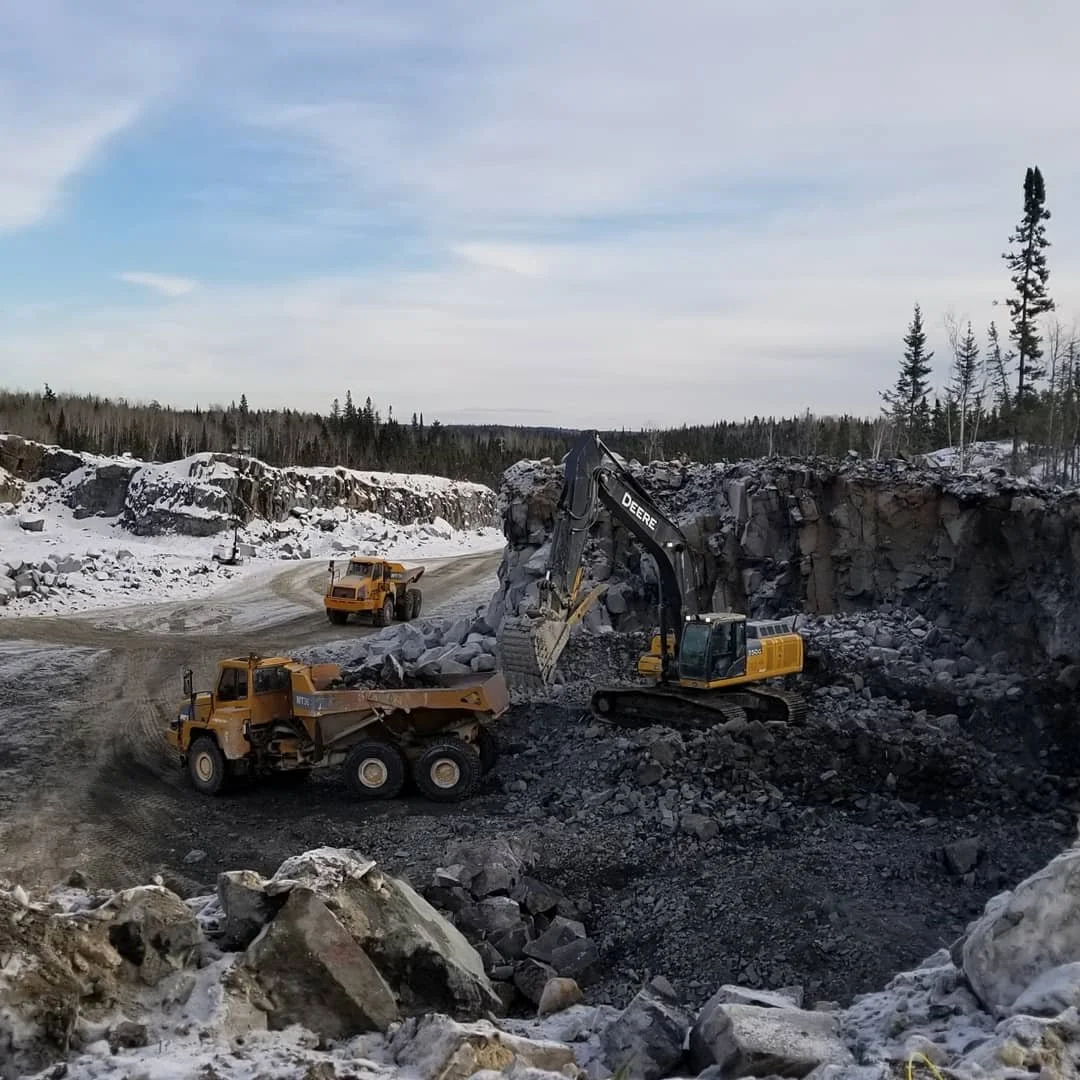
Volumetric Excellence: Stockpile and Inventory Management
In the mining sector, volume is money. Accurate Volumetric Analysis is critical for financial reporting, production scheduling, and logistics.
Surveyors utilize advanced software to compare current topographic data against base-level surveys or previous months’ data. This allows for the precise calculation of:
Stockpile Tonnages: Ensuring that inventory levels of ore and concentrate are reported accurately to stakeholders.
Excavation Quantities: Verifying the amount of overburden removed and ore extracted, which is vital for contractor payment and productivity audits.
Leach Pad and Tailings Capacity: Monitoring the remaining volume in storage facilities to ensure regulatory compliance and operational continuity.
Safety and Remote Sensing: Mitigating Risk in High-Hazard Zones
Safety is the primary directive in resource development. Geomatics plays a pivotal role in Risk Mitigation by keeping personnel out of harm's way.
Monitoring Inaccessible Areas: Using robotic total stations and long-range scanners, surveyors can monitor the stability of high-walls and tailings dams from a distance. Early detection of movement or "creep" allows for site evacuations before a failure occurs.
Remote Utility Mapping: Locating buried pipelines and electrical conduits in brownfield sites prevents accidental strikes during new excavations.
Autonomous Support: Surveyors manage the high-precision 3D models that guide autonomous haulage and drilling systems, reducing the need for human presence in high-traffic or unstable areas.
Infrastructure and Lease Layout: Building for Longevity
Beyond the pit, a mine requires a complex web of supporting infrastructure. Precision layout is required for:
Haul Road Design: Ensuring that road grades and curves are optimized for fuel efficiency and tire wear on massive haul trucks.
Tailings Facilities: Precise staking of liners, dams, and monitoring wells to ensure environmental containment and structural integrity.
Lease Boundary Management: Ensuring all activities remain strictly within legal boundaries and environmental setback zones to prevent costly fines and legal disputes.
Reclamation and Environmental Compliance
The surveyor’s job isn't finished when the ore runs out. During the Reclamation Phase, geomatics is used to ensure the land is returned to its original or intended state. Surveyors guide the re-contouring of the landscape, monitor the placement of topsoil, and verify that drainage patterns are restored to prevent erosion, ensuring the project meets its final environmental obligations.
By integrating sub-centimeter ground data with wide-scale aerial insights, professional surveying provides the technical certainty required to navigate the complexities of modern resource development.